How’s the water out there in Wiskey Diggins Canal? Was the Fiddler Green Canal titled after an early day musician? Did you ever wonder how the DSL Canal was named?
The names of water storage and distribution facilities throughout NID are colorful and unusual but, unfortunately, the origination of many of them has been lost through the years.
Many facilities are named for builders, such as Faucherie Reservoir, or for the geographic areas they serve, such as Bald Hill or Pet Hill canals.
Of course, many lakes and canals carry names that are rooted in the area’s rich mining history.
The DS Canal is the lowest elevation of the two NID canals crossed by Red Dog and Banner Lava Cap roads near Nevada City. It was built by NID in 1927-28 to carry water from Lower Scotts Flat into the Nevada City-Grass Valley area. The DS Canal follows the south side of Deer Creek, hence DS for Deer Creek South. If NID had followed through with an initial plan for a canal on the north side, we would today have the DN Canal.
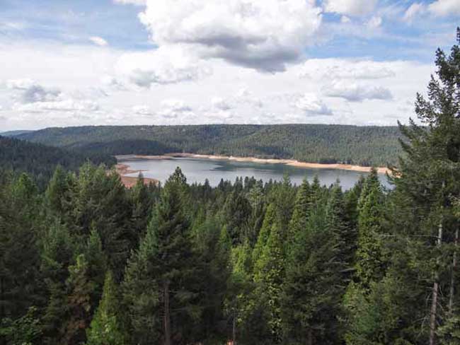
How Scott Flat was named is unclear, but it is widely understood that it was due to the Scottish miners who lived and worked there in the 1850’s and 1860’s. Schools once stood near what is now the campground on the north side of the lake.
Rollins Reservoir was named for J.L. Rollins, manager of the Bear River Water and Power Co., the company from which NID acquired the land to build the reservoir.
NID’s first modern water treatment plan, the Elizabeth L. George plant on Banner Mountain, opened in 1969 and was named after the long time community leader who helped gain funding for its construction.
In the high country, Faucherie Reservoir, built prior to 1880, was named after a French engineer who worked for the Eureka Lake & Yuba Canal Co. “The French must have had a strong influence because French Lake, located upstream of Faucherie and constructed in 1857-59 was originally called Eureka Lake and later changed to French Lake,” wrote NID retiree Terry Mayfield who documented much of the district’ history during his 34 years with the district.
One of NID’s most historic canals is reputed to be the first mining canal in the state. The Rough & Ready Canal was begun in 1850 as the first effort to build a large-scale mining ditch in California.
According to the Thompson & West History of Nevada County, “a man named Moore commenced to dig one from Deer Creek above Nevada City to Rough and Ready. The magnitude of the undertaking astounded the miners and they thought Moore was a lunatic, but he persevered until he had completed one mile, and then abandoned the enterprise.”
Moore’s project was taken over by a company in 1851 and by 1854 the canal to Rough & Ready was complete. NID took over the canal in 1925 as part of a water system acquired from the old Excelsior Water & Power Co. Portions of the 13-mile-long Rough and Ready & Ready Canal remain in use today.
Source: Nevada Irrigation District newsletter Volume 35 Number 4 Winter 2014/2015
Help keep this blog going
Call or write today for all your
real estate needs
John J. O’Dell Realtor® GRI
O’Dell Realty
(530) 263-1091
Error: Contact form not found.
BRE#00669941